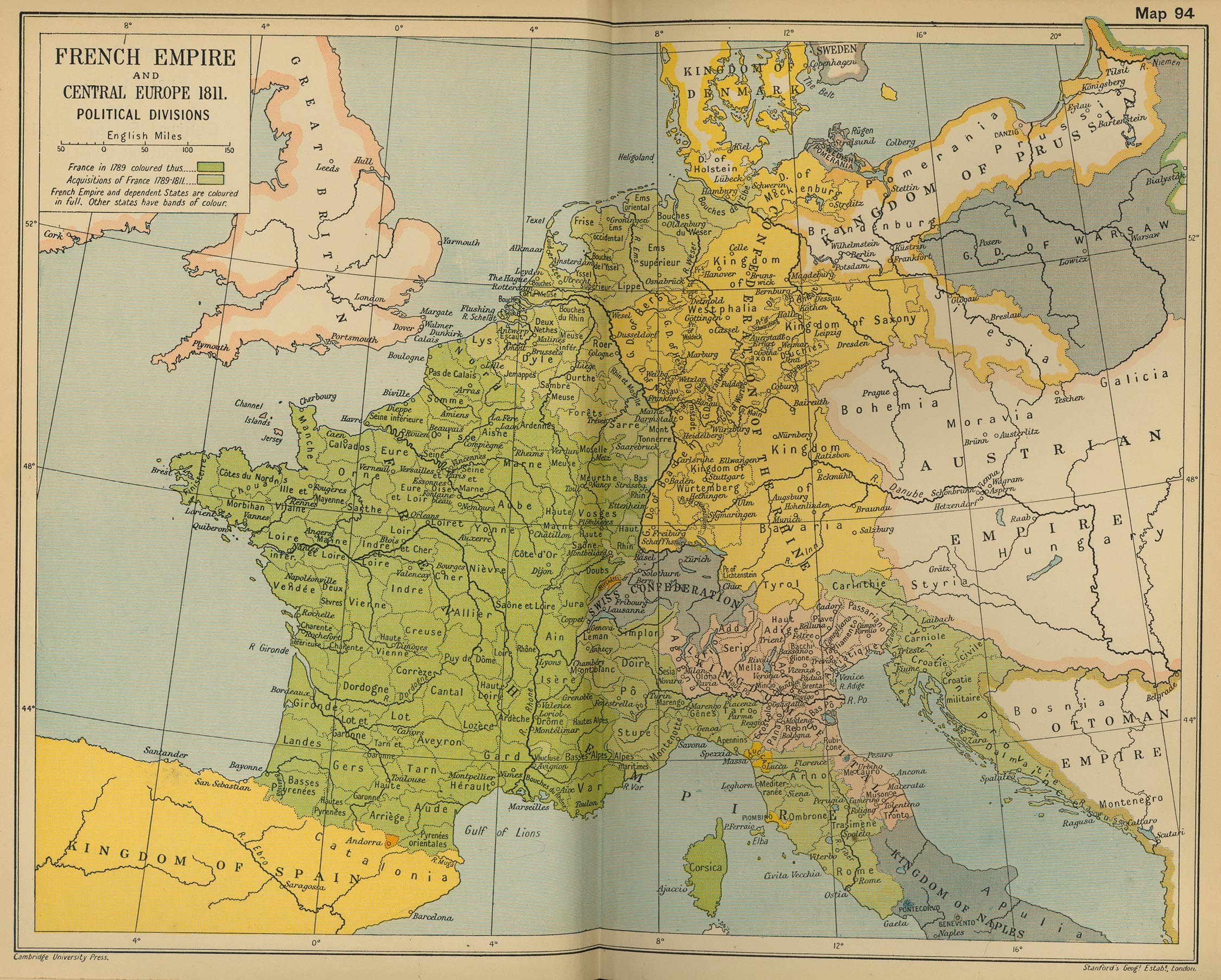
Here a picture of the Geopolitic map of Italy, 1808-1813.
AS reproted by Murat, Indipendent State of Tuscany and Pontifician States, figure out in many scenarios: 1813 as an example.
A thing to be fixed!
Big thank to Murat for reporting!

FM WarB wrote:The borders changed after Napoleon's victory in 1809. Would merely changing loyalty of certain provinces do the trick?


Return to “Help to improve NCP!”
Users browsing this forum: No registered users and 19 guests